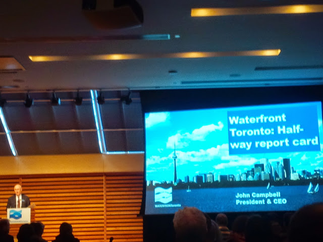
Presentation Highlights
Campbell started the presentation with a historical context of Toronto’s waterfront dating back to the 1790’s and how the current revitalization plan stemmed from Toronto’s failed 2008 Olympic bid. It is one of the world’s most significant city building projects covering almost 2000 acres; making it more than seven times the size of London’s Canary Wharf.[1] While each level of government made an initial commitment of $500 million and land, of which $1.3 billion is under the organization’s control, Waterfront Toronto is already on its way to recovering this investment. After factoring in public investment and $2.6 billion for the first wave of private sector investments in the East Bayfront and West Don Lands neighbourhoods, government revenues are expected to reach $1.46 billion.[2] This does not account for future investments, which Campbell mentioned could be worth $9.6 billion and lead to additional government revenues of $3.4 billion.
Aside from the strong economic case and associated creation of residential units (including affordable housing), jobs, and public spaces, the presentation mentioned various technological achievements including the following:
- A unique development model which involves building great public spaces first, followed by great buildings.
- All buildings must meet or exceed LEED Gold environmental standards.
- Canada’s first open-access ultra-high speed broadband network with speeds approaching 500 Mbps; double Rogers’ fastest speed of 250 Mbps.
- The encouragement of soil cleaning, instead of the traditional dig and dump.
- The use of grid-like silva cells to ensure healthy tree growth; as opposed to the twigs on Spadina Campbell mentioned to some laughter.
- The integration of flood prevention in parks such as Corktown Common.
- A reconstructed Queen’s Quay and Martin Goodman Trail opening on June 19.
- Future initiatives such as the Don River naturalization and the East Bayfront LRT to ensure new residents opt for transit, walking, or cycling.
 |
| Don River Naturalization |
Martin Goodman Trail
 |
| Martin Goodman Trail at Sherbourne |
 |
| Martin Goodman Trail construction at Rees |
There remain two unresolved issues regarding the Waterfront from a cycling perspective. The first is how to provide Toronto’s neighbourhoods from Parkdale to Riverdale with safe access to the Waterfront. The second is wayfinding, which the City is currently working on via its Toronto 360 Wayfinding Strategy.
Conclusion
Aside from the challenges identified in this post, the future of Toronto’s Waterfront is expected to be bright. Its focus on improved public spaces, economic growth, and environmental sustainability is one that should be encouraged elsewhere in this city.
Build on!
Rob Z (e-mail)
---
[1]Waterfront Toronto’s website indicates London’s Canary Wharf is 272 acres compared to 1977 acres for Toronto’s plan.
[2]This includes $622 million from public investments and $838 million from private sector construction.
[3]Waterfront Toronto. “Martin Goodman Trail West – Project Overview.” http://fr.slideshare.net/WaterfrontTO/martin-goodman-trail-west-project-overview

No comments:
Post a Comment